If you’ve done genealogy and family history any amount of time, you know that there is a lot of information to sift through and keep track of. Before you get overwhelmed, or if you already feel like you’re drowning, keep reading to find out how Google Earth can be a lifesaver to help you keep all that information organized and even formatted in fun ways for you and your family.
Google Earth helps genealogists and family historians gather, organize, and present information found during research. Its digital tools allow researchers to find locations and measure distances. Projects help present family stories in a well-organized and visually appealing manner to audiences.
Keep reading if you’re ready to get organized and learn about fun ways to tell your family stories using Google Earth.
Can I Use Google Earth for Genealogy?
Google Earth is a very useful tool to use in genealogical and family history research. With Google Earth, you can:
- Find and store locations you find in your research
- Tell stories from your family history digitally
- Measure the distance between two locations
- Share what you find with interested family members
As we’re talking about these uses and features, keep in mind that there are different versions of Google Earth.
- There is a desktop version called Google Earth Pro,
- A web-based version that can be accessed anywhere you have an internet connection,
- And a mobile version that you can use on a phone or tablet.
Not all of the features work on every platform. I will do my best to inform you what version each feature works best on. So, here we go!
How to Use Google Earth Projects for Genealogy
Google Earth Projects are our favorite feature on Google Earth. Projects are a way to tell digital stories. Think of it like a PowerPoint presentation using maps. Google Earth projects can be made to communicate information on all sorts of topics. We’ll focus on using them to tell your family stories using geographic locations, photos, text, etc.
Your creativity is the only limit on the types of stories you can tell with this. You can choose the timeline of the story you want to tell. Tell a portion of an ancestor’s life, their whole life story, or the story of multiple generations of family. It’s up to you. Your family story projects can also be customized with text, photos, video, and audio. Best of all, these stories can easily be shared with family members to help them learn about their family history too in a fun, visual way.
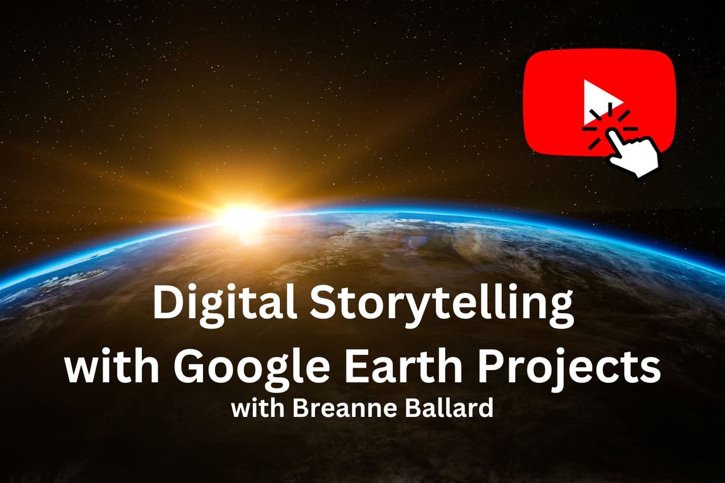
If you want to go into more detail on how to tell your family stories with Google Earth projects, here’s a presentation I did for the BYU Family History Library webinar series. Click on the image below (or this link) to watch it now.
Google Earth Projects is a feature that can only be created in the web version of Google Earth, but it can be shared and viewed in the other two versions of Google Earth.
Google Earth Pro, the version you download to your desktop, has a feature similar to a project called a “sightseeing tour.” The one you decide to use will depend on your preference. Creating a project in the web version of Google Earth is much more user-friendly and visually appealing than the sightseeing tour in Google Earth Pro.
Still, Google Earth Pro does have better audio and video capabilities. Again, each has its pros and cons. Do a little experimenting with both to decide which you prefer.
How Do You Start a Genealogy Project On Google Earth?
To start a genealogy project on Google Earth, open the web-based version (Pro). Find a starting location. After Google Earth puts that location in view, users can “Add to Project” via a dialogue box on the right-hand side of the screen. The program then walks you through the next steps to creating a project.
If you’re on the web-based version, you will search for the location you want to use to start your project (don’t worry, if you ever decide you’d like to change the order of locations in your project, that is an easy fix later). After Google Earth flies you to the chosen location, you will see a large box on the right side of the screen that says “Add to Project.” The next screen will guide you through how to add it to an existing project or create a new one.
In Google Earth Pro, you will see “Sightseeing Tours” on the left side of the screen. If you right-click here and then choose “Add” and “Folder,” this will create a new tour. Then search for the place you want to go, right-click again, and choose “Add” and then “Placemark.” Fill out the fields given and then click “OK.”
After you’ve added all of the locations you want to use to tell your story, now it’s time to customize. You can upload photos, any text you want, and links to YouTube videos you’d like to use. If you have a lot of text that you want to use, you can insert a slide into the presentation that is just text.
There are so many possibilities with this feature! If you want to get into the details, I highly recommend checking out the webinar video above. It’ll show you exactly how it’s all done. Here’s the link again to be helpful! Don’t worry. That link opens in a new tab so you don’t lose your place here.
How to Use Google Earth Genealogy Projects in Chrome
Since Google Earth is a product of Google, it works best in their Chrome browser. It can be used in other browsers, but it will work optimally (best) in Chrome. You can download the Google Chrome browser for free at this official link.
Which Photos to Use in Genealogy Google Earth Projects
Google Earth Projects allows for any photos on a computer or available online to be added. It’s best practice to ensure any photos used are only those with a copyright owned or properly licensed by the project creator.
One of my favorite reasons for using Google Earth projects to tell my family stories is the visual quality. You can add multiple photos to every location on your journey. Most of all, I like to upload old photos I already have scanned and saved to my computer.
You can also search for images on the web to add to your presentation. This is great for filling in gaps where you want a visual to go with your story but you don’t have the right photo.
For example, say your grandfather came from a small town in Germany, and you’ve never been there before. You also don’t own any photos of the place, so you search the internet for one you can use. Just be careful of copyright, and only use images you have permission to use.
What Can Google Earth Be Used for Related to Family History?
Google Earth is more than just a visual storytelling tool. People researching their family history can use it to help with many other things, such as storage and organization, storytelling, finding places important to family history, and measuring distances of family migration.
Using Google Earth for storage and organization
Google Earth is a great place to organize and store the places you find while researching your family history. Most genealogical information you find about your family from records such as census, vital records, and military records also have location information contained in it too. These locations are important for tracking where your ancestors lived, giving clues about their lives and what historical events influenced their journey.
Saving the locations you find in a folder or project in Google Earth is an easy way to stay organized. Another bonus is that if you’re saving these locations in Google Earth, the next time you head out on a family vacation, you’re ready to see if there are any family history sites that you can visit along the way!
Saving the locations you find in Google Earth will also help you see patterns in your ancestors’ movements. You’ll be able to visualize where your family moved as time passed. You’ll be able to see where storylines overlap and interact.
Or maybe you’ll see some discrepancies that need to be reconciled. For example, if your ancestor comes from a time or place where moving outside of a few-mile radius for multiple generations doesn’t typically happen, and you think you find a record that places him or her far outside of that radius, then that would be a big red flag to do more research. You may not have the right person.
On the other hand, if you find your ancestor listed in a place that doesn’t match where you know they are from, you may think that the record is incorrect. However, if you plot both places in Google Earth, you may see that the two places are close enough together that both records may match your ancestor.
If you’re not an expert in geography, like me, then I will not be able to analyze the locations until they’re plotted on a map so I can analyze them visually. Google Earth helps me to do that.
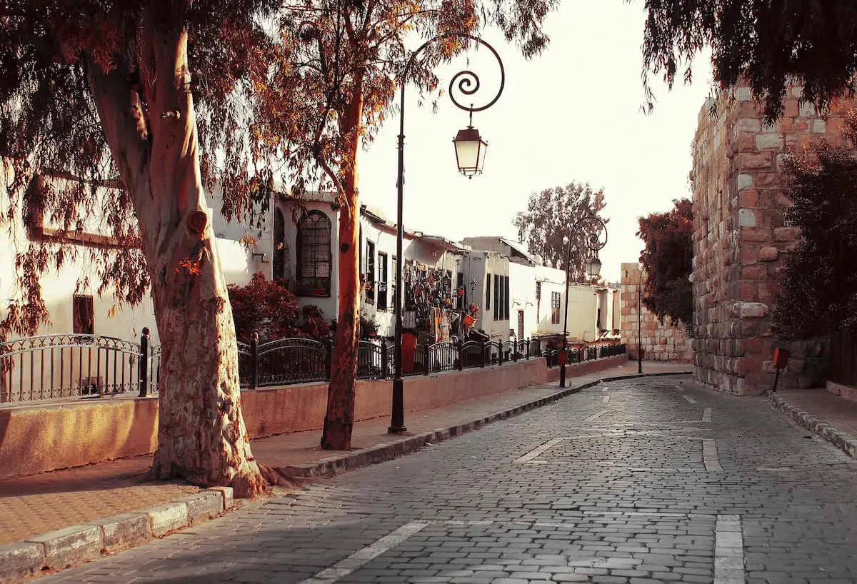
Google Earth Street View
Have you always dreamed of actually going to visit some of the places that your ancestors are from? I’ll tell you about the next best thing if time and money don’t allow such a luxury. Spoiler: it’s Google Earth. Google Earth offers the option to walk down the streets of many places worldwide virtually. You can visit your ancestral homelands without leaving your own home. This is a great feature to help kids and other family members interested in their family history.
Experts out there can use an old photo and Google Earth to sleuth out the exact location where a photo was taken. So cool!
Map Overlay Tool
While these modern virtual tours are fun, we all know that places can change dramatically in a short amount of time. Google Earth Pro, the desktop version, lets you upload historical map images and overlay them on top of the Google Earth image to compare the two places. This is invaluable if the place you’re looking for is not around anymore. The map overlay tool is a feature that is only available on the desktop version of Google Earth.
Distance Measurement Tool
Google Earth also lets you measure the distance between two places. This tool comes in handy if you find the description of a location. For example, once in a family history, I found written, “the farm was two miles northeast of town.” This wouldn’t give you an exact location, but it would definitely help narrow it down for you.
Also, as I mentioned before, knowing the exact distance between two places helps narrow down whether or not the distance between two places realistically fits into the narrative of your ancestor’s story. If it looks like an ancestor moved a great distance all of the sudden, then that’s pretty suspicious (or it will lead to a great story). Either way, it’s useful information.
How We Use Google Earth in Our Genealogy
My favorite use for Google Earth is “driving around” and finding places if you’re unsure where they are. And it doesn’t cost me anything! It might help a family member visualize places where they don’t remember an address or if it’s a place without an address
Even if you think you’re familiar with a location, it’s always to check where that place is on a map. It may give you some helpful hints as to where you might be able to find more information for your research.
For example, unless you refer to a map, you may notice that the town your ancestor is from is right on the border of a neighboring county or state. Knowing that could potentially lead you to find and have more information and records that could teach you more about your ancestors
How Far Back Can You Go In Google Earth
Google Earth Pro (the desktop version) does have some historical information and images built in. First, search for the location you’re focusing on. Then, in the top left, where you see the tool icons, you’ll see one that looks like a clock. Click on the clock and then move the arrows on the blue bar to see what historical images are available.
The amount of time that the image goes back depends on the location. If images don’t go back as far as you’d like, then you can search for a historical map online and then overlay the image you found on top of the Google Earth image, just like we talked about above.
Next Steps
Google Earth is an amazing tool for genealogists and family historians of all levels. If you haven’t played with it yet, make sure you try it out here as soon as you can.
Need more help finding your family and telling their stories? Check out these articles for more information.
- How To Find Out Where an Ancestor is Buried: Complete Guide
- 50 Last Names that Come from Jobs: A Brief History
- 5 Fantastic Ways to Preserve Family Videos
Resources
When learning about genealogy, it’s important to learn from various reputable sources. These are the sources used in this article and our research to be more informed as genealogists.
- Note from Kimberly: I’m the editor on this one. This one is all Breanne, folks. She’s amazing, and her research on this is fantastic.
- If you haven’t watched Breanne’s presentation, do it now. It’s on YouTube and free to watch. Here’s the link: https://youtu.be/mvLvH_GbD7U